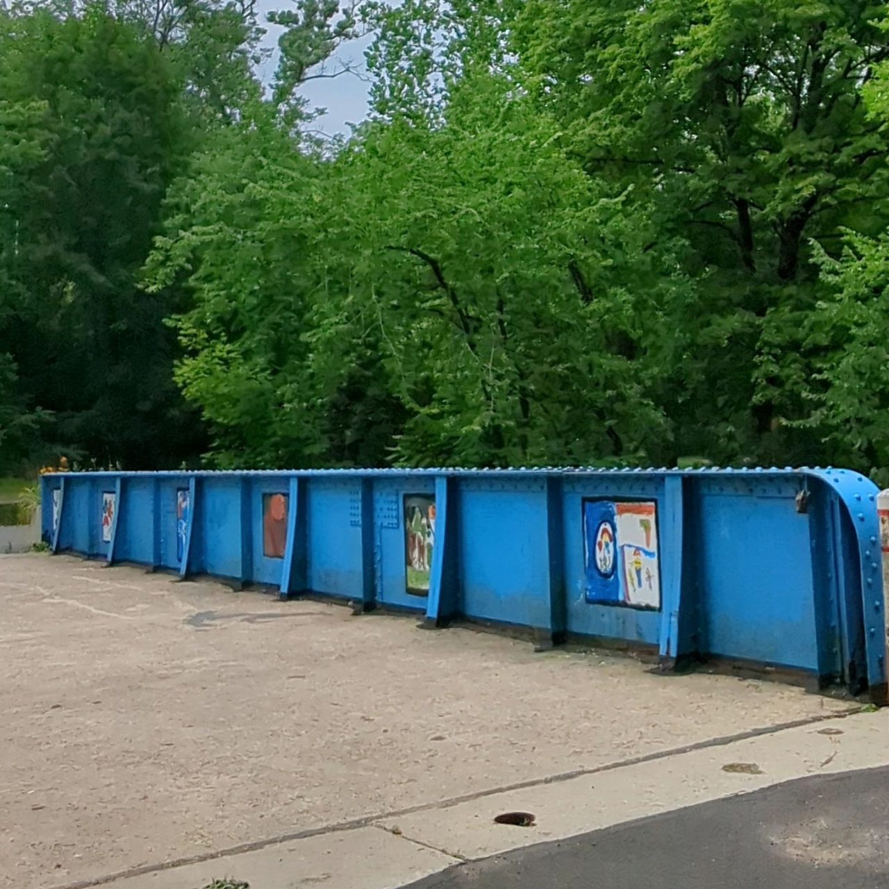
Precautionary work to stabilize the piers of the Richard McAteer Memorial Bridge (aka “blue bridge”) is making it unavailable for access to the Karl Stirner Arts Trail from 7:30 a.m.–3:30 p.m. for a couple of weeks.
“They are working on armoring the piers to avoid scour from the new lower creek level,” says Easton Public Works Director Dave Hopkins. Scour is the erosion or removal of earth by the piers and abutments of a bridge by fast-moving water. It can create holes that weaken the bridge’s structural integrity.
Flyway Excavating of Mount Joy, Pa., began conducting the work on behalf of the Wildlands Conservancy about two weeks ago. Hopkins says the pier on the arts trail side is being protected by large stones; the corresponding abutment — the structure at the end of a bridge span connecting its deck to the ground — rests on timber piles. The road-side pier received a concrete treatment; the abutment there rests on bedrock.
The lower creek level was caused by removal of a dam on Bushkill Creek behind the city’s public works building, says Hopkins. However, a site assessment revealed previous scour around the bridge’s piers from high-flow conditions prior to the dam removal, explains Dru Germanoski, Dr. Ervin R. Van Artsdalen Professor of Geology at Lafayette College. This was caused by the design of the bridge, specifically the abutments’ location directly adjacent to the channel on both sides, which creates a flow constriction, especially at high flows.
The site assessment revealed another problem: “The bridge is not firmly anchored in competent bedrock,” says Germanoski, which the current work is addressing.
He and Dave Brandes, professor and chair of integrative engineering at Lafayette, have been working with teams of students to collect data on the morphology (size, shape, and structure) of Bushkill Creek at multiple cross-sections downstream and upstream of each dam since 2017.
“We intend to continue monitoring for years into the future to document the changes and adjustments that take place in the channel as a result of dam removal,” says Germanoski.
Megan Rothenberger, professor and chair of environmental science and studies at Lafayette, “has also been studying water quality and the biological health of the streams around the dams, as well as at control sites further upstream of the dams, to characterize the streams and document changes associated with dam removal,” says Germanoski. The colleagues believe the dam removal will lead to a physical and biological equilibrium with a morphology similar to what existed prior to dam construction.
Two other dams in the study area were removed in the past, says Germanoski. One was downstream of the prominent island immediately downstream of the lower Route 22 overpass and the other was by the dog walk adjacent to the arts trail by the parking lot along Bushkill Drive just upstream of the McAteer Bridge.
The dams removed from Bushkill Creek were built to power mills that no longer exist. Germanoski is positive about the impact of removing the dams, which impeded the upstream migration of fish from the Delaware River into the creek.
“We anticipate more trout migrating into the Bushkill Creek from the Delaware River to spawn and more free movement of fish seeking relief from thermal stress and oxygen deprivation that previously existed in the pool areas above the dams during late summer,” he says. “A major goal of dam removal was to re-establish freshwater mussels in the Bushkill Creek because mussels improve water quality as they filter-feed. Mussel larvae cannot swim upstream and rely on migrating fish to disperse in waterways. Juvenile mussels attach to the gills of fish and eels that transport the mussels upstream to new habitat — dams prevent this dispersal.”
“It is important for people to know that these dams did not provide any measure of flood protection or flood attenuation,” adds Germanoski. “The removal of the dams increases the channel capacity to transmit flow downstream, resulting in lower water levels in the Bushkill during high-flow events.”